In the thousands of times I passed this turnoff, I'm always curios as to what's up there?
Well, now I know!
 | |
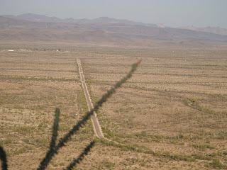
| Road from AZ Hwy 85 Ten miles N. of Ajo |
Thanks to the Cabeza Prieta Natural History Association for hosting tours of Childs Mountain. Otherwise locked to motor vehicles, hiking and biking are permitted.
 |
| Ajo, AZ in distance. |
 |
| Altitude ranging(retired) and FAA dome |
Constructed in the 50's as a part of the North American Early Warning Radar looking for the Red Menace. At one time more than 300 personnel and their families lived there. Quickly obsolete. Closed for good in 1971 and buildings razed and desert restored in the 90's.
 |
| Altitude Ranging Tower (only original structure remaining) |
To the South FAA dome, Little Ajo Mountains, Black Peak and the Ajo Range.
To the Southwest you can see Charlie Bell Pass and thru to the Mexican Volcano Pinacate some 50 miles distant.
Childs Valley dominates the view to the West.
Northern antenna farm. The lookout is between FAA radar (dome) and these antennae.
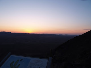
With the passing light scenes change.
A beautiful clear sky sunset!
Not many people took advantage of the unlocked gate.
Dome at dusk.
Ajo at night from above.


Thanks for introducing me to an interesting spot I wouldn't have known of otherwise. And I'm glad you stayed long enough to have photos going into the evening--beautiful. I look forward to reading more.
ReplyDeleteThanks for introducing me to a place I would never have known of otherwise, and for staying long enough to take pictures into the evening. Beautiful!
ReplyDelete